What is a diagnostic feature in site-to-site imagery comparison?
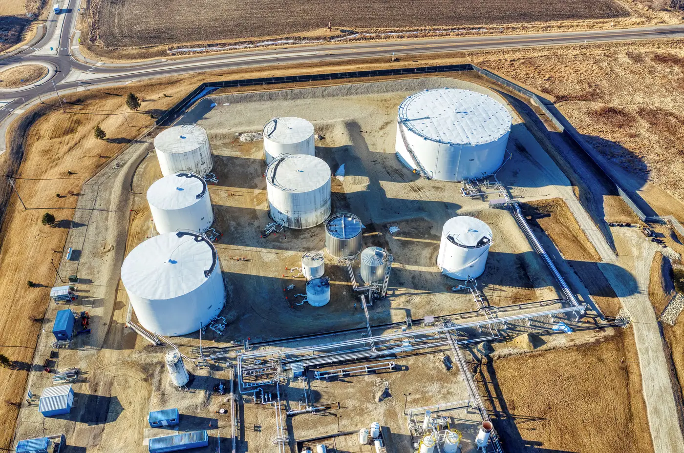
A diagnostic feature is the specific visual trait that told you exactly what you were looking at. Not "there's a fence line" or "there's a paved apron." The one or two traits that let you call the same thing again if you saw it somewhere else: the staggered spacing on a row of revetments, the paired-tower layout at a particular class of power plant, the way a transshipment yard stacks containers three high against a treeline instead of two.
Imagery analysts have used this split for decades without always naming it on paper. Features come in two flavors. Circumstantial features show up at lots of sites of a given type and don't narrow anything down: a guard tower, a chain-link perimeter, a loading dock. Diagnostic features are the ones specific enough to discriminate between candidates. A roof vent pattern might be nothing at a generic warehouse. At one particular manufacturing building type, if that exact vent array keeps repeating, it's diagnostic.
Diagnostic vs. circumstantial, with an example
Think of it the way a print examiner does. General finger shape tells you almost nothing. Ridge minutiae, the specific points where a ridge splits or ends, tell you everything. A site's overall footprint, size, and rough shape are the finger shape. The exact berm angle, the gap between structures, the shadow geometry at a known sun elevation, those are the minutiae.
Get this wrong and the cost shows up fast. Pick treeline shape as your diagnostic feature and you'll flag every structure within a hundred meters of forest, because treeline shape drifts with resolution, season, and collection angle. Pick the precise spacing and orientation of a revetment berm instead, and the field narrows down to a short list worth looking at.
Why this matters once you're comparing across a wide area
A single site-to-site comparison, one known location against one candidate, is something an analyst does in their head without much trouble. The problem changes shape entirely when the known site has to be checked against a search area running across a province, a border region, or a whole archive's worth of collects.
At that point the bottleneck shifts from judgment to throughput. One person can hold five or six diagnostic features in mind while paging through a sector tile by tile. That works fine for a defined AOI over an afternoon. It stops working once the area runs past a few hundred square kilometers and the archive keeps stacking new imagery on top of what's already unreviewed.
This is the gap Broad Area Search is built around. You mark the one site whose diagnostic features you already trust, and it retrieves every other location in the search area that scores close to it on that same imagery signature, instead of you opening tile after tile by hand. It doesn't decide what's diagnostic for you. That judgment call is still yours, made once per site type rather than once per tile.
Testing whether a feature will hold up
Before you treat something as diagnostic, run it through a few questions. Does it survive a change in off-nadir angle, or does it only read clearly looking straight down? Does it depend on a specific sun elevation, so it vanishes at certain times of year? Is it something foliage will cover for half the collection calendar?
A feature that only holds at one look angle and one season is a weak candidate for anything you plan to monitor continuously. The features that hold up are usually structural rather than textural: spacing between fixed objects, the angle a berm or taxiway runs at, the count and arrangement of secondary structures around a primary one. These don't shift with the light.
Getting the diagnostic feature right is still the analyst's job. If you've already got a site whose signature you trust, mark it and see what else across your AOI comes back close.