Embedding search vs keyword tagging for satellite imagery archives
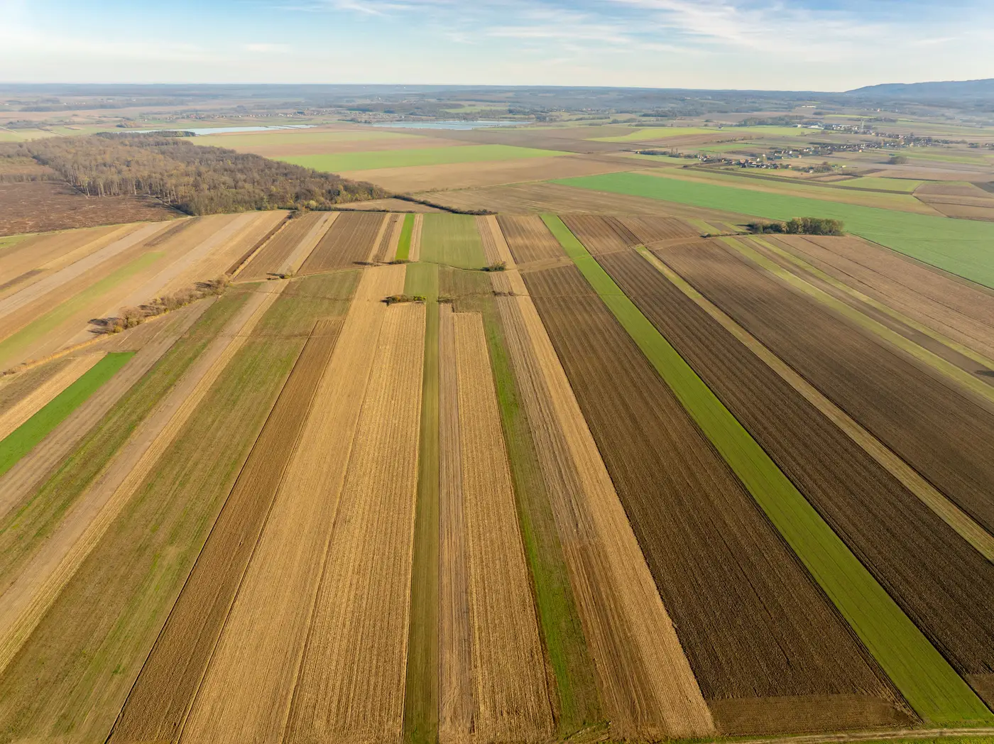
Most imagery archives are still organized the way a librarian would organize them: by what someone typed into a field. Sensor, date, cloud cover, maybe a few manually assigned keywords like "industrial" or "runway." That works fine when you know the tag you're looking for. It falls apart the moment your real question is "find me more places that look like this one," because nobody tagged the archive for resemblance. They tagged it for metadata.
What keyword tagging searches
A catalog search is a database query. You're filtering on fields someone populated at ingest: acquisition date, sensor type, country, maybe a land-use class if the provider ran an automated classifier. None of that touches the visual pattern of the thing you care about. Two compounds with the same roofline, the same vehicle spacing, the same perimeter berm, won't share a single tag unless a human already connected them and wrote it down.
This is the gap analysts hit constantly. You've got one confirmed site: a training yard, a dispersal pattern, a processing facility with a particular layout. The archive has no field for "looks like this." So the search becomes manual. You pull the tile, you pull adjacent tiles, you scroll the AOI grid square by square, and you rely on whoever's eyes are on the screen that day to recognize the pattern when it repeats somewhere else in the collection.
What an embedding compares
Content-based image retrieval works differently. A foundation model looks at the pixels in a tile, not the metadata attached to it, and produces a vector that encodes what's visually in the scene: shapes, texture, spatial arrangement, the kind of structure that makes a site distinctive on imagery. Two tiles that look alike end up with vectors that sit close together in that space, whether or not either tile has ever been tagged, classified, or looked at by a person before.
That's the practical difference. Keyword tagging answers "show me everything labeled X." Embedding search answers "show me everything that resembles this one tile," which is a question the catalog's fields were never built to answer. The metadata might be right there, correctly describing the tile. It just doesn't describe what the site looks like to a human analyst scanning for a pattern.
Where each one earns its keep
Tagging still wins for things that are genuinely categorical and already known. If you need every image acquired over a named province last quarter with less than 10% cloud cover, that's a catalog query, full stop. No embedding model replaces a well-structured metadata field for that kind of ask.
Embedding search earns its keep on the opposite problem: you have one real example, no name for the class it belongs to, and a search area too large to page through tile by tile. A facility doesn't come with a tag that says "resembles the one near the river we flagged last month." It only has pixels. Comparing those pixels against the rest of the archive, instead of comparing labels that were never written for this purpose, is the only way to surface matches that nobody thought to name in advance.
In practice the two aren't really competing. One narrows the search space by what's known about an image. The other narrows it by what the image actually shows. An analyst running broad-area work usually wants both: filter the archive down by date and region first, then run the visual comparison against what's left, rather than scrolling every tile in a province because the one site that matters never got a label that fits.
Broad Area Search is built around that second step: mark one tile as the reference and get back the tiles across your search area that match it on appearance, without needing a tag for what you're looking for in the first place.
If keyword search in your archive keeps coming up short on the one question you have, a look-alike search built on the imagery itself might close that gap.